E12 Tribes Hill
Tribes Hill · Mile 43.52 · Operated by NYS Canal Corporation
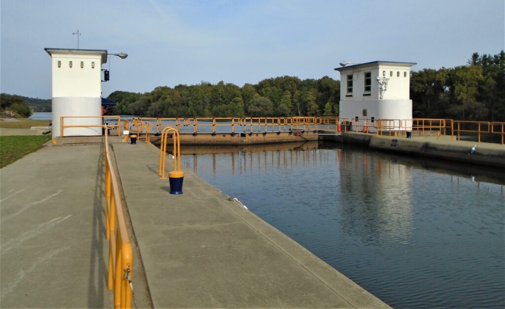
Barge Canal · 1918 — the canalized Mohawk River, held by a movable “bridge dam.” Which canal is this? →
History
Don’t look for Lock E12 in the village it’s named for. The lock lies near Fonda in the Tribes Hill area, at mile 43, lifting boats a slight 11 feet — and its most interesting feature stands just downstream, where the ghost of an older canal survives. At Schoharie Crossing in nearby Fort Hunter, the stone ruins of the 1839–41 Schoharie Aqueduct — once fourteen arches and more than 600 feet long, six of them still standing — stride across Schoharie Creek, a relic of the Enlarged Erie that this Barge Canal replaced. E12 itself is a river lock, paired with one of the Mohawk’s movable bridge dams; during the great flood of March 1913, the dams here were among the first put to the test. Two canals, two centuries, one narrow valley.