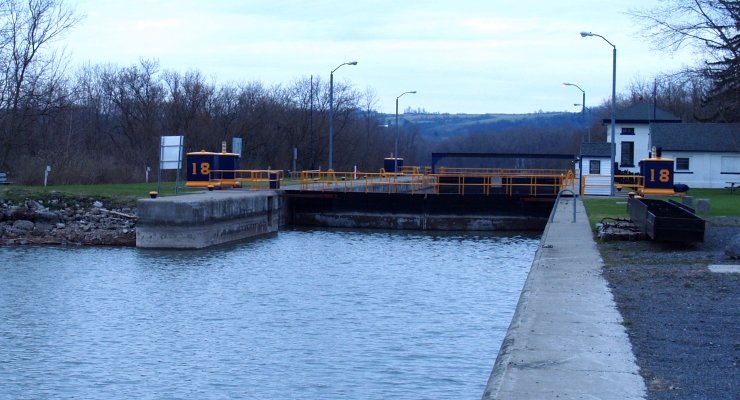
E18 Jacksonburg
Jacksonburg · Mile 83.19 · Operated by NYS Canal Corporation
Barge Canal · 1918 — still the canalized Mohawk River, just past the gorge at Little Falls. Which canal is this? →
History
Just west of the gorge at Little Falls — the hardest mile on the whole river — the Mohawk finally relents, and Lock E18 catches boats on the far side. This is no canal in the ditch-digging sense: here the modern Erie is the Mohawk River itself, held at navigable depth behind movable dams and climbed in twenty-foot steps of poured concrete. E18 opened as part of New York’s machine-age Barge Canal, the rebuild completed in 1918 — generations after the hand-dug canal of 1825. It sits in the industrial heart of Herkimer County, a few miles from Ilion, where Eliphalet Remington bought land on the canal bank in 1828 to float his gunworks’ output to market. The valley never stopped trading on that water; the lock is just the newest way of climbing it.