E25 May’s Point
May's Point · Mile 203.11 · Operated by NYS Canal Corporation
Barge Canal · 1918 — the canalized Seneca River, through the drained Montezuma marshes. Which canal is this? →
History
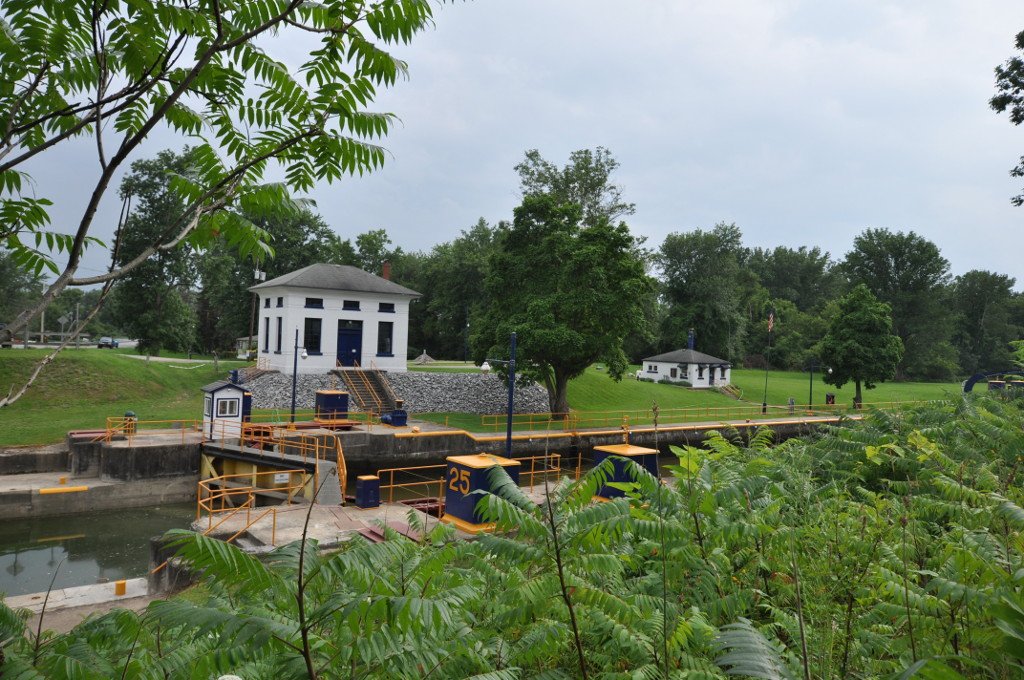
Lock E25 lifts boats a modest six feet, but it stands in the most haunted digging ground on the canal. This is the Montezuma country — the drowned remnant of a vast wetland where, in the 1820s, crews building the original Erie sickened and died of mosquito-borne “Montezuma fever,” and finished the marsh section largely in winter, when the insects lay dormant. The marsh was later pulled down when a lock at Cayuga Lake’s outlet lowered the water eight to ten feet and drained it. E25 sits about two miles west of the junction where the Cayuga–Seneca Canal branches south toward the Finger Lakes, near where Seneca, Wayne, and Cayuga counties meet. Its exact mileage is itself unsettled — sources put it anywhere from 201.4 to 203.1 — a fitting ambiguity for a lock at the edge of a marsh.